Damning evidence
Introduction
The photograph on this page of Damning evidence by Bob Harvey as part of the Geograph project.
The Geograph project started in 2005 with the aim of publishing, organising and preserving representative images for every square kilometre of Great Britain, Ireland and the Isle of Man.

There are currently over 7.5m images from over 14,400 individuals and you can help contribute to the project by visiting https://www.geograph.org.uk
Damning evidence
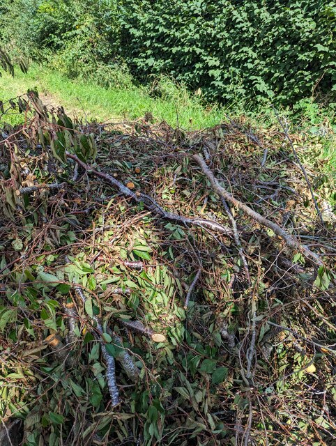
Image: © Bob Harvey Taken: 23 Aug 2023
Looking at the pile of branches in the road Image, the cut ends of the branches show that this is definitely not a natural occurrence. I used the online web page to report it as fly tipping.
Images are licensed for reuse under creativecommons.org/licenses/by-sa/2.0
Image Location
Latitude
51.954108
Longitude
-0.644186