Monmouth - Former Railway Bridge
Introduction
The photograph on this page of Monmouth - Former Railway Bridge by Colin Smith as part of the Geograph project.
The Geograph project started in 2005 with the aim of publishing, organising and preserving representative images for every square kilometre of Great Britain, Ireland and the Isle of Man.

There are currently over 7.5m images from over 14,400 individuals and you can help contribute to the project by visiting https://www.geograph.org.uk
Monmouth - Former Railway Bridge
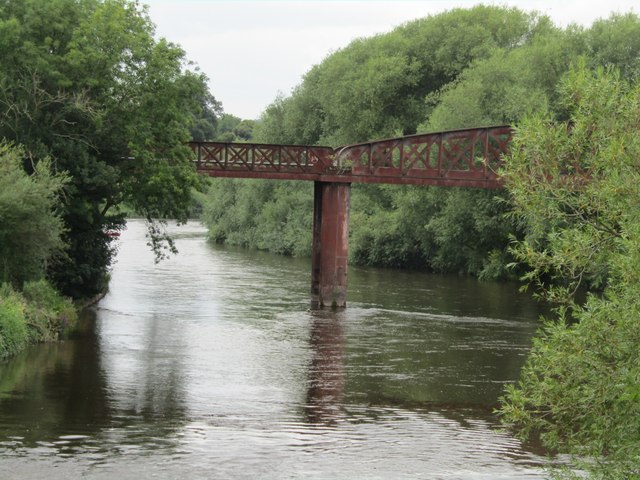
Image: © Colin Smith Taken: 4 Aug 2023
Spanning the River Wye south of Monmouth town is the Duke of Beaufort Railway Bridge. It was opened in 1874 connecting Monmouth Mayhill with Monmouth Troy stations. Passenger services ceased in 1959 but the bridge today (2023) is still open to pedestrians. www.wyevalleyaonb.org.uk
Images are licensed for reuse under creativecommons.org/licenses/by-sa/2.0
Image Location
Latitude
51.805856
Longitude
-2.707725