Cycle path beside the River Weaver
Introduction
The photograph on this page of Cycle path beside the River Weaver by DS Pugh as part of the Geograph project.
The Geograph project started in 2005 with the aim of publishing, organising and preserving representative images for every square kilometre of Great Britain, Ireland and the Isle of Man.

There are currently over 7.5m images from over 14,400 individuals and you can help contribute to the project by visiting https://www.geograph.org.uk
Cycle path beside the River Weaver
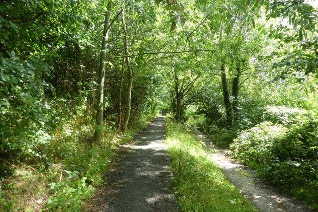
Image: © DS Pugh Taken: 6 Aug 2023
The path on the left forms part of National Cycle Network route 5 with the lower footpath being part of the Weaver Way.
Images are licensed for reuse under creativecommons.org/licenses/by-sa/2.0
Image Location
Latitude
53.189078
Longitude
-2.514338