Weaver Road meets Prince Edward Street
Introduction
The photograph on this page of Weaver Road meets Prince Edward Street by DS Pugh as part of the Geograph project.
The Geograph project started in 2005 with the aim of publishing, organising and preserving representative images for every square kilometre of Great Britain, Ireland and the Isle of Man.

There are currently over 7.5m images from over 14,400 individuals and you can help contribute to the project by visiting https://www.geograph.org.uk
Weaver Road meets Prince Edward Street
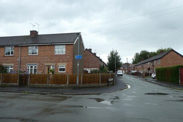
Image: © DS Pugh Taken: 6 Aug 2023
National Cycle Network route 451 runs along here.
Images are licensed for reuse under creativecommons.org/licenses/by-sa/2.0
Image Location
Latitude
53.071205
Longitude
-2.520394