Burnt Houses
Introduction
The photograph on this page of Burnt Houses by Gordon Hatton as part of the Geograph project.
The Geograph project started in 2005 with the aim of publishing, organising and preserving representative images for every square kilometre of Great Britain, Ireland and the Isle of Man.

There are currently over 7.5m images from over 14,400 individuals and you can help contribute to the project by visiting https://www.geograph.org.uk
Burnt Houses
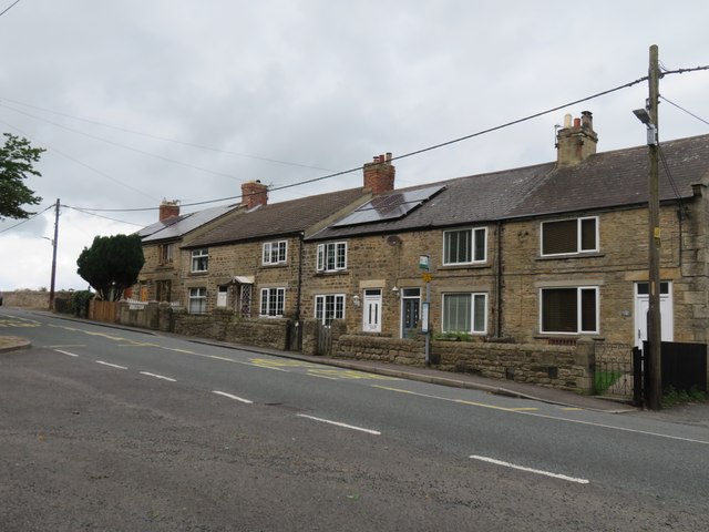
Image: © Gordon Hatton Taken: 19 Aug 2023
Although the name and evidence of a few dwellings appear on the first edition OS map of 1856, this row of cottages look later than that. Burnt Houses is no more than a hamlet along the road that follows the northern edge of the Raby Castle estate, but why were they built here? There's no evidence of coal mining in the immediate vicinity, and they don't look much like estate workers houses.
Images are licensed for reuse under creativecommons.org/licenses/by-sa/2.0
Image Location
Latitude
54.605805
Longitude
-1.813578