2 & 2a Vicars Court
Introduction
The photograph on this page of 2 & 2a Vicars Court by Richard Croft as part of the Geograph project.
The Geograph project started in 2005 with the aim of publishing, organising and preserving representative images for every square kilometre of Great Britain, Ireland and the Isle of Man.

There are currently over 7.5m images from over 14,400 individuals and you can help contribute to the project by visiting https://www.geograph.org.uk
2 & 2a Vicars Court
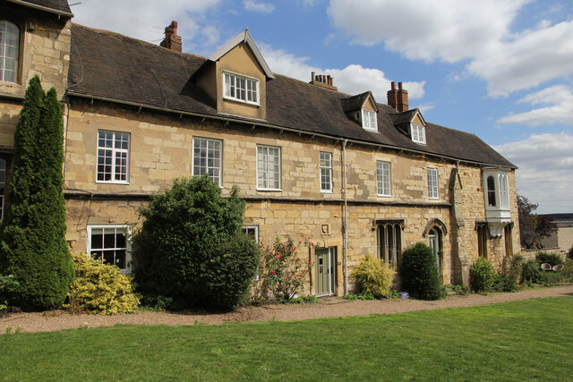
Image: © Richard Croft Taken: 9 Aug 2023
Grade I listed part of the east range of Vicars Court, former lodgings of the Vicars Choral, with 14th century origins and subsequent changes.
Images are licensed for reuse under creativecommons.org/licenses/by-sa/2.0
Image Location
Latitude
53.233237
Longitude
-0.535199