Railway Inn, Llanpumsaint
Introduction
The photograph on this page of Railway Inn, Llanpumsaint by Alan Richards as part of the Geograph project.
The Geograph project started in 2005 with the aim of publishing, organising and preserving representative images for every square kilometre of Great Britain, Ireland and the Isle of Man.

There are currently over 7.5m images from over 14,400 individuals and you can help contribute to the project by visiting https://www.geograph.org.uk
Railway Inn, Llanpumsaint
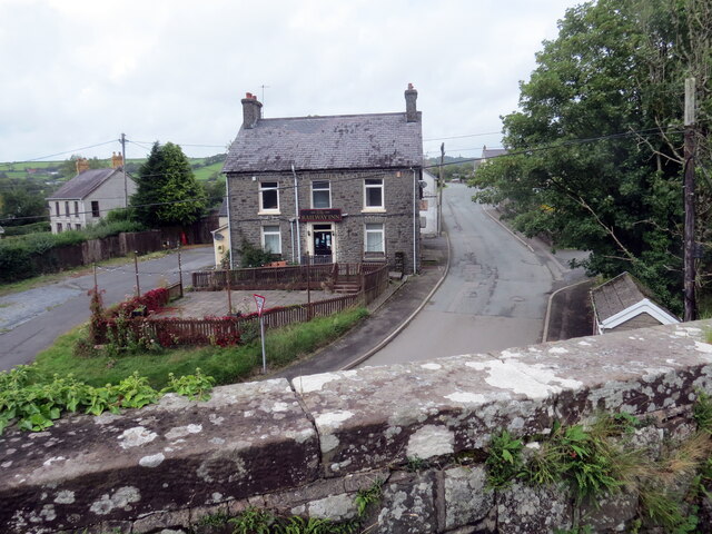
Image: © Alan Richards Taken: 19 Aug 2023
Tafarn y Railway o'r bont reilffordd. Caewyd y lein yn 1965. The Railway Inn from the railway bridge. The line closed in 1965.
Images are licensed for reuse under creativecommons.org/licenses/by-sa/2.0
Image Location
Latitude
51.942342
Longitude
-4.307759