Morpeth Cenotaph
Introduction
The photograph on this page of Morpeth Cenotaph by Robert Graham as part of the Geograph project.
The Geograph project started in 2005 with the aim of publishing, organising and preserving representative images for every square kilometre of Great Britain, Ireland and the Isle of Man.

There are currently over 7.5m images from over 14,400 individuals and you can help contribute to the project by visiting https://www.geograph.org.uk
Morpeth Cenotaph
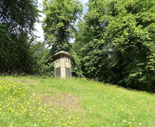
Image: © Robert Graham Taken: 10 Jul 2023
This stands on Castle Bank beside the A197 on the south side of the river. Erected in 1922, lists the fallen of both world wars.
Images are licensed for reuse under creativecommons.org/licenses/by-sa/2.0
Image Location
Latitude
55.163505
Longitude
-1.685891