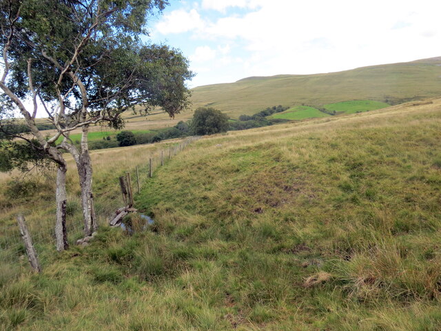
Twmpath llosg / Burnt mound
Introduction
The photograph on this page of Twmpath llosg / Burnt mound by Alan Richards as part of the Geograph project.
The Geograph project started in 2005 with the aim of publishing, organising and preserving representative images for every square kilometre of Great Britain, Ireland and the Isle of Man.
There are currently over 7.5m images from over 14,400 individuals and you can help contribute to the project by visiting https://www.geograph.org.uk

Image: © Alan Richards Taken: 16 Aug 2023
Yn y blaendir uwchben nant fach saif twmpath llosg o'r Oes Efydd. Pan oedd ein hynafiaid yn coginio cig yn ystod y cyfnod hwn byddent yn twymo cerrig mewn tân cyn eu rhoi nhw mewn cafn llawn dŵr i ferwi cig. Pan mewn cysylltiad â dŵr oer byddai llawer o'r cerrig hyn yn chwalu. Mae'r domen yn ganlyniad i groniad dros amser o gerrig wedi'u chwalu a malurion tân fel siarcol. Damcaniaethau eraill yw eu bod nhw'n rhyw fath o sona neu ar gyfer berweddu cwrw. In the foreground above a small watercourse is a Bronze Age burnt mound. When our ancestors cooked meat during this period they would heat stones in a fire before putting them in a trough full of water to boil meat. When in contact with cold water many of the stones would shatter. The mound is a result of an accumulation over time of discarded shattered stones and fire debris such as charcoal. Other theories are that they were used as a sauna or for brewing beer.

