Footpath to Steel Well Lane
Introduction
The photograph on this page of Footpath to Steel Well Lane by Neil Owen as part of the Geograph project.
The Geograph project started in 2005 with the aim of publishing, organising and preserving representative images for every square kilometre of Great Britain, Ireland and the Isle of Man.

There are currently over 7.5m images from over 14,400 individuals and you can help contribute to the project by visiting https://www.geograph.org.uk
Footpath to Steel Well Lane
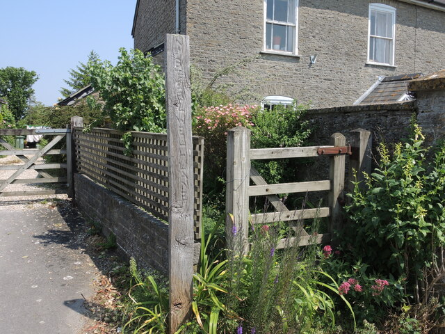
Image: © Neil Owen Taken: 7 Jun 2023
Leading from the High Street, Henstridge, and off to the east side of the village. There are a few springs to mark the well.
Images are licensed for reuse under creativecommons.org/licenses/by-sa/2.0
Image Location
Latitude
50.974434
Longitude
-2.391915