Conholt House planning applications
Introduction
The photograph on this page of Conholt House planning applications by Oscar Taylor as part of the Geograph project.
The Geograph project started in 2005 with the aim of publishing, organising and preserving representative images for every square kilometre of Great Britain, Ireland and the Isle of Man.

There are currently over 7.5m images from over 14,400 individuals and you can help contribute to the project by visiting https://www.geograph.org.uk
Conholt House planning applications
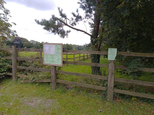
Image: © Oscar Taylor Taken: 13 Aug 2023
Lots of them! Apparently the estate was bought by an American billionaire.
Images are licensed for reuse under creativecommons.org/licenses/by-sa/2.0
Image Location
Latitude
51.294485
Longitude
-1.539723