Canal and parkland near Pendeford in Wolverhampton
Introduction
The photograph on this page of Canal and parkland near Pendeford in Wolverhampton by Roger Kidd as part of the Geograph project.
The Geograph project started in 2005 with the aim of publishing, organising and preserving representative images for every square kilometre of Great Britain, Ireland and the Isle of Man.

There are currently over 7.5m images from over 14,400 individuals and you can help contribute to the project by visiting https://www.geograph.org.uk
Canal and parkland near Pendeford in Wolverhampton
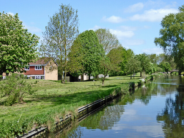
Image: © Roger Kidd Taken: 14 May 2016
Looking north towards Marsh Lane Bridge, this shows the Staffordshire and Worcestershire Canal. Open parkland and housing estates to the left were developed on the former Wolverhampton Municipal Airport. Sustrans Route 81 passes along the towpath.
Images are licensed for reuse under creativecommons.org/licenses/by-sa/2.0
Image Location
Latitude
52.625217
Longitude
-2.140742