The site of the former Kings Arms in Ballygate
Introduction
The photograph on this page of The site of the former Kings Arms in Ballygate by Adrian S Pye as part of the Geograph project.
The Geograph project started in 2005 with the aim of publishing, organising and preserving representative images for every square kilometre of Great Britain, Ireland and the Isle of Man.

There are currently over 7.5m images from over 14,400 individuals and you can help contribute to the project by visiting https://www.geograph.org.uk
The site of the former Kings Arms in Ballygate
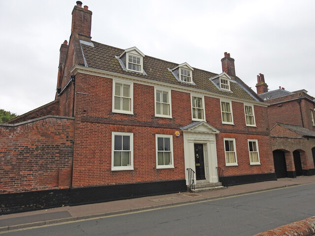
Image: © Adrian S Pye Taken: 11 Aug 2023
A deed referring to 1754, describes this building as the Kings Arms. Kings Arms public house from which it inherited the name, was from a period well before 1754, and would have occupied this site, and had been demolished before this present building was erected in the early 18th century according to English Heritage.
Images are licensed for reuse under creativecommons.org/licenses/by-sa/2.0
Image Location
Latitude
52.456616
Longitude
1.561094