Bridge 7 and Dockholme lock gates
Introduction
The photograph on this page of Bridge 7 and Dockholme lock gates by David Lally as part of the Geograph project.
The Geograph project started in 2005 with the aim of publishing, organising and preserving representative images for every square kilometre of Great Britain, Ireland and the Isle of Man.

There are currently over 7.5m images from over 14,400 individuals and you can help contribute to the project by visiting https://www.geograph.org.uk
Bridge 7 and Dockholme lock gates
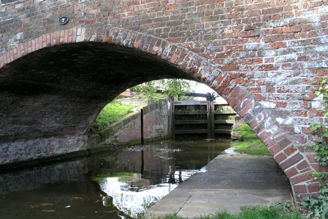
Image: © David Lally Taken: 6 Apr 2008
The bridge carries a footpath from Bennett Street onto the towpath, Nutbrook Trail and the Toton Washlands beyond.
Images are licensed for reuse under creativecommons.org/licenses/by-sa/2.0
Image Location
Latitude
52.910533
Longitude
-1.282789