Loansdean Cottages
Introduction
The photograph on this page of Loansdean Cottages by Robert Graham as part of the Geograph project.
The Geograph project started in 2005 with the aim of publishing, organising and preserving representative images for every square kilometre of Great Britain, Ireland and the Isle of Man.

There are currently over 7.5m images from over 14,400 individuals and you can help contribute to the project by visiting https://www.geograph.org.uk
Loansdean Cottages
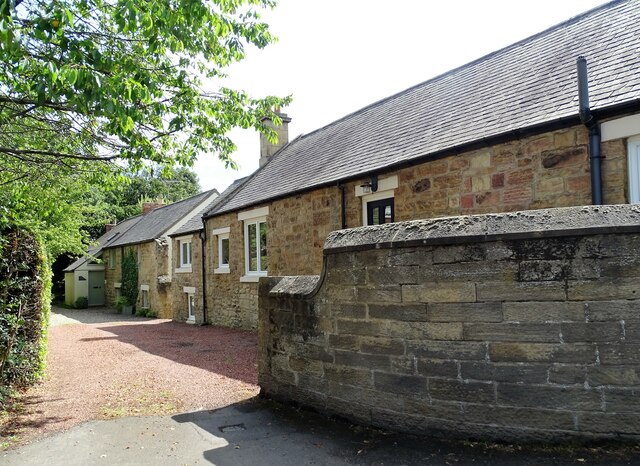
Image: © Robert Graham Taken: 10 Jul 2023
This row of old stone cottages stands beside the A197 in the southern part of Morpeth. They would appear to be shown on the 1866 Ordnance Survey map, when there were only a few isolated cottages in this part of the town.
Images are licensed for reuse under creativecommons.org/licenses/by-sa/2.0
Image Location
Latitude
55.156686
Longitude
-1.690025