Kate Brook valley
Introduction
The photograph on this page of Kate Brook valley by Derek Harper as part of the Geograph project.
The Geograph project started in 2005 with the aim of publishing, organising and preserving representative images for every square kilometre of Great Britain, Ireland and the Isle of Man.

There are currently over 7.5m images from over 14,400 individuals and you can help contribute to the project by visiting https://www.geograph.org.uk
Kate Brook valley
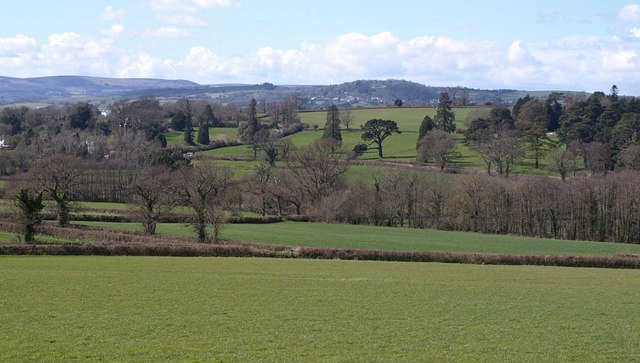
Image: © Derek Harper Taken: 30 Mar 2008
Taken from the same place as Image, looking further to the left. The park-like grounds at Filleigh on the right across the brook are in Image Hennock is in the distance.
Images are licensed for reuse under creativecommons.org/licenses/by-sa/2.0
Image Location
Latitude
50.613426
Longitude
-3.584369