Green Pastures Pond
Introduction
The photograph on this page of Green Pastures Pond by Neville Goodman as part of the Geograph project.
The Geograph project started in 2005 with the aim of publishing, organising and preserving representative images for every square kilometre of Great Britain, Ireland and the Isle of Man.

There are currently over 7.5m images from over 14,400 individuals and you can help contribute to the project by visiting https://www.geograph.org.uk
Green Pastures Pond
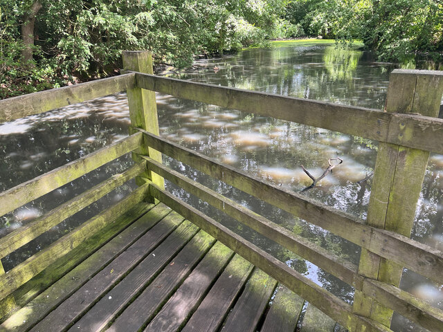
Image: © Neville Goodman Taken: 27 Jul 2023
This water feature, at the north-east corner of the housing of Nailsea, is marked on the OS 25 inch (1892-1914) as a rectangular reed bed. Its field parcel number was 681, and its acreage was 0.392 (all this detail was recorded on those maps). It is not named on OS maps, but it is Green Pastures Pond on Google Earth. The south-west corner is partly cut off by the curve of Green Pastures Road.
Images are licensed for reuse under creativecommons.org/licenses/by-sa/2.0
Image Location
Latitude
51.435929
Longitude
-2.739971