Berry Tower
Introduction
The photograph on this page of Berry Tower by Tony Atkin as part of the Geograph project.
The Geograph project started in 2005 with the aim of publishing, organising and preserving representative images for every square kilometre of Great Britain, Ireland and the Isle of Man.

There are currently over 7.5m images from over 14,400 individuals and you can help contribute to the project by visiting https://www.geograph.org.uk
Berry Tower
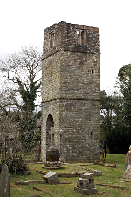
Image: © Tony Atkin Taken: 5 Apr 2008
Berry Tower was originally constructed between 1501 and 1511 and formed part of a large chapel which has since disappeared. The cemetery which now surrounds the tower was established in the 19th century.
Images are licensed for reuse under creativecommons.org/licenses/by-sa/2.0
Image Location
Latitude
50.475374
Longitude
-4.717727