Wepre footpaths
Introduction
The photograph on this page of Wepre footpaths by Stephen McKay as part of the Geograph project.
The Geograph project started in 2005 with the aim of publishing, organising and preserving representative images for every square kilometre of Great Britain, Ireland and the Isle of Man.

There are currently over 7.5m images from over 14,400 individuals and you can help contribute to the project by visiting https://www.geograph.org.uk
Wepre footpaths
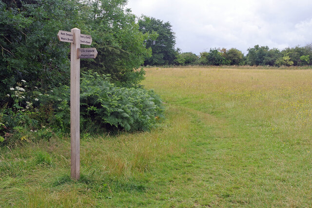
Image: © Stephen McKay Taken: 11 Jul 2023
There is a junction of paths here beside Wepre Wood - heading to Wepre Brook, Wepre Lane or the Devil's Basin.
Images are licensed for reuse under creativecommons.org/licenses/by-sa/2.0
Image Location
Latitude
53.201765
Longitude
-3.067507