Access road for Langerton Farm
Introduction
The photograph on this page of Access road for Langerton Farm by Trevor Littlewood as part of the Geograph project.
The Geograph project started in 2005 with the aim of publishing, organising and preserving representative images for every square kilometre of Great Britain, Ireland and the Isle of Man.

There are currently over 7.5m images from over 14,400 individuals and you can help contribute to the project by visiting https://www.geograph.org.uk
Access road for Langerton Farm
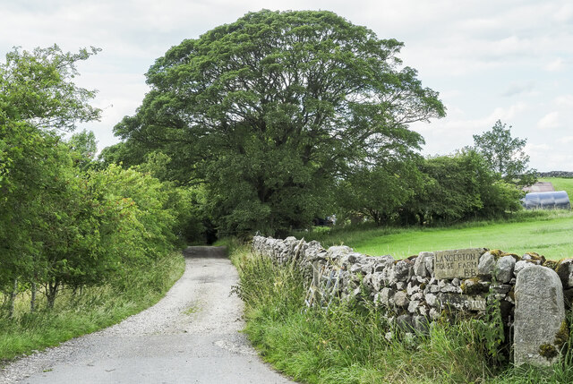
Image: © Trevor Littlewood Taken: 9 Jul 2023
The farm road leaves Thorpe Lane, a minor road connecting the villages at Thorpe and Cracoe.
Images are licensed for reuse under creativecommons.org/licenses/by-sa/2.0
Image Location
Latitude
54.04398
Longitude
-2.012181