Christine's Way
Introduction
The photograph on this page of Christine's Way by Richard Sutcliffe as part of the Geograph project.
The Geograph project started in 2005 with the aim of publishing, organising and preserving representative images for every square kilometre of Great Britain, Ireland and the Isle of Man.

There are currently over 7.5m images from over 14,400 individuals and you can help contribute to the project by visiting https://www.geograph.org.uk
Christine's Way
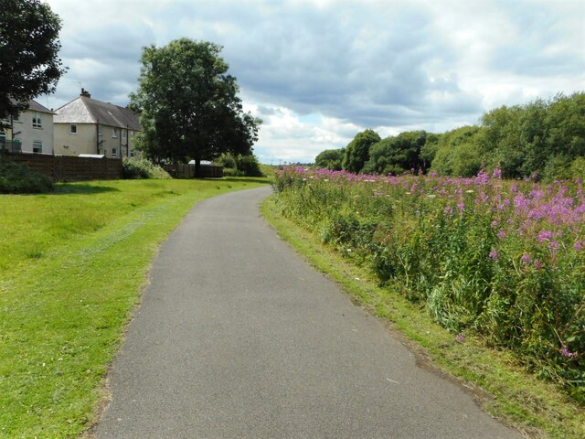
Image: © Richard Sutcliffe Taken: 5 Jul 2023
Rosebay willowherb growing beside Christine's Way. 'Christine’s Way runs between Park Burn and The Greens. Local woman Christine Slimming campaigned over a five year period for the path to be upgraded. Christine was a wheelchair user and was frustrated with the old path when she couldn’t get along it in her wheelchair. Sadly Christine died in 2007 but she was able to use the new path several times before she died. In tribute this popular path was named Christine’s Way.' https://www.trailsandtales.org/trails/heritage/christines-way
Images are licensed for reuse under creativecommons.org/licenses/by-sa/2.0
Image Location
Latitude
55.930848
Longitude
-4.163865