Water level gauge on a bridge over the Nailbourne
Introduction
The photograph on this page of Water level gauge on a bridge over the Nailbourne by Nick Smith as part of the Geograph project.
The Geograph project started in 2005 with the aim of publishing, organising and preserving representative images for every square kilometre of Great Britain, Ireland and the Isle of Man.

There are currently over 7.5m images from over 14,400 individuals and you can help contribute to the project by visiting https://www.geograph.org.uk
Water level gauge on a bridge over the Nailbourne
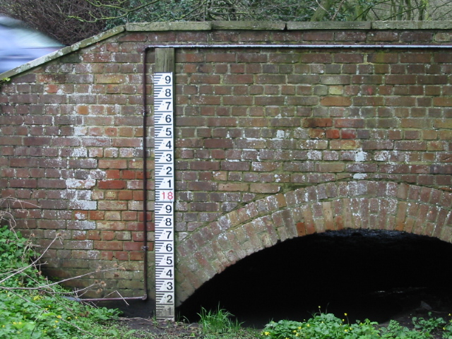
Image: © Nick Smith Taken: 30 Mar 2008
Not sure of the scale here, the numbering seems a bit odd? Compare with http://www.geograph.org.uk/photo/302568 taken in December 2000
Images are licensed for reuse under creativecommons.org/licenses/by-sa/2.0
Image Location
Latitude
51.257469
Longitude
1.144442