Coronation Road
Introduction
The photograph on this page of Coronation Road by Ian Capper as part of the Geograph project.
The Geograph project started in 2005 with the aim of publishing, organising and preserving representative images for every square kilometre of Great Britain, Ireland and the Isle of Man.

There are currently over 7.5m images from over 14,400 individuals and you can help contribute to the project by visiting https://www.geograph.org.uk
Coronation Road
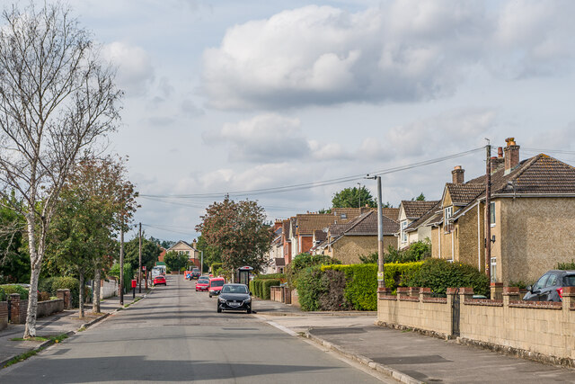
Image: © Ian Capper Taken: 22 Sep 2022
Road between Roman Road and Queen Alexandra Road. The road was first marked on the 1925 25 inch map, including some of the houses seen here. With neighbouring roads on that map of a King Edward Road (not actually developed, the line now being just a nameless track), Queen Alexandra Road and Empire Road, it would seem that the coronation the road name refers to was that of Edward VII in 1902; the 1925 map was the first survey after that date so there is none earlier to confirm or contradict this suggestion.
Images are licensed for reuse under creativecommons.org/licenses/by-sa/2.0
Image Location
Latitude
51.078492
Longitude
-1.8209