256-262 Citadel Road, Plymouth
Introduction
The photograph on this page of 256-262 Citadel Road, Plymouth by Alan Murray-Rust as part of the Geograph project.
The Geograph project started in 2005 with the aim of publishing, organising and preserving representative images for every square kilometre of Great Britain, Ireland and the Isle of Man.

There are currently over 7.5m images from over 14,400 individuals and you can help contribute to the project by visiting https://www.geograph.org.uk
256-262 Citadel Road, Plymouth
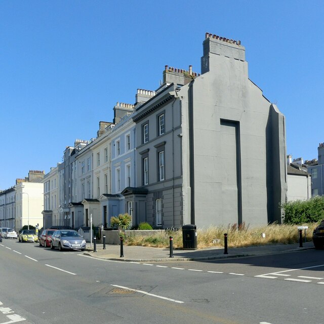
Image: © Alan Murray-Rust Taken: 29 Jun 2023
Four villas, Listed Grade II as a set, which originally formed a continuous terrace between the two side roads; the end one demolished and others rebuilt following WWII bomb damage. Part of an important planned group of terraces and villas by Foulston and his pupil Wightwick on the Hoe, a scheme which placed Plymouth in the forefront of town planning in the early/mid C19.
Images are licensed for reuse under creativecommons.org/licenses/by-sa/2.0
Image Location
Latitude
50.366722
Longitude
-4.145492