Cycle path following route of former railway
Introduction
The photograph on this page of Cycle path following route of former railway by Kevin Waterhouse as part of the Geograph project.
The Geograph project started in 2005 with the aim of publishing, organising and preserving representative images for every square kilometre of Great Britain, Ireland and the Isle of Man.

There are currently over 7.5m images from over 14,400 individuals and you can help contribute to the project by visiting https://www.geograph.org.uk
Cycle path following route of former railway
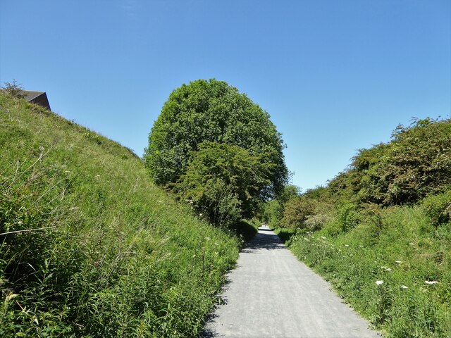
Image: © Kevin Waterhouse Taken: 14 Jun 2023
About to leave the last of the housing estates above the cutting at Shotton Colliery on the Hart to Haswell route
Images are licensed for reuse under creativecommons.org/licenses/by-sa/2.0
Image Location
Latitude
54.768008
Longitude
-1.39722