Directions and distances sign on a bank above the B4347 in rural Monmouthshire
Introduction
The photograph on this page of Directions and distances sign on a bank above the B4347 in rural Monmouthshire by Jaggery as part of the Geograph project.
The Geograph project started in 2005 with the aim of publishing, organising and preserving representative images for every square kilometre of Great Britain, Ireland and the Isle of Man.

There are currently over 7.5m images from over 14,400 individuals and you can help contribute to the project by visiting https://www.geograph.org.uk
Directions and distances sign on a bank above the B4347 in rural Monmouthshire
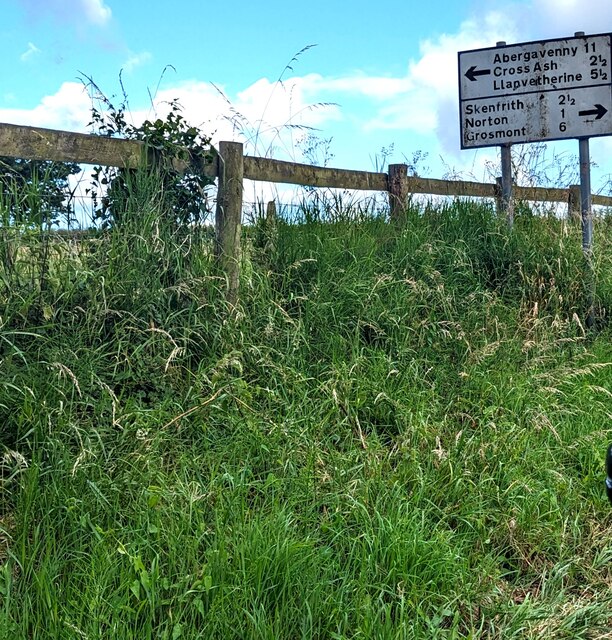
Image: © Jaggery Taken: 2 Jul 2023
Located here. https://www.geograph.org.uk/photo/1242427 Turn left for Abergavenny (11 (miles)), Cross Ash (2½), Llanvetherine (5½). Turn right for Skenfrith (2½), Norton (1), Grosmont (6).
Images are licensed for reuse under creativecommons.org/licenses/by-sa/2.0
Image Location
Latitude
51.862352
Longitude
-2.814041