Culvert, Spring Lane, Netherby
Introduction
The photograph on this page of Culvert, Spring Lane, Netherby by Mel Towler as part of the Geograph project.
The Geograph project started in 2005 with the aim of publishing, organising and preserving representative images for every square kilometre of Great Britain, Ireland and the Isle of Man.

There are currently over 7.5m images from over 14,400 individuals and you can help contribute to the project by visiting https://www.geograph.org.uk
Culvert, Spring Lane, Netherby
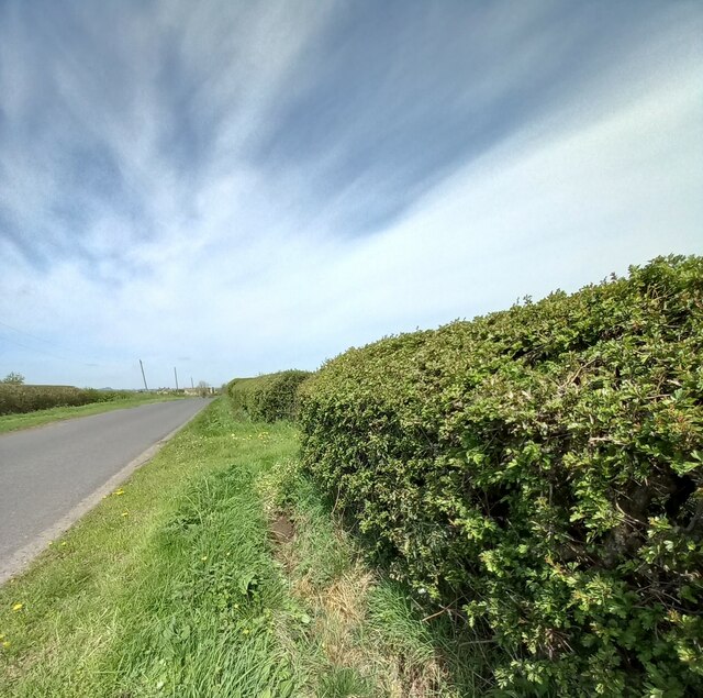
Image: © Mel Towler Taken: 3 May 2023
According to the OS benchmark database there is a benchmark cut into the culvert at the field entrance on the east side of the lane. Nothing was found.
Images are licensed for reuse under creativecommons.org/licenses/by-sa/2.0
Image Location
Latitude
53.919526
Longitude
-1.496596