King's Bridge (Church Lane), Bocking Churchstreet
Introduction
The photograph on this page of King's Bridge (Church Lane), Bocking Churchstreet by Robin Webster as part of the Geograph project.
The Geograph project started in 2005 with the aim of publishing, organising and preserving representative images for every square kilometre of Great Britain, Ireland and the Isle of Man.

There are currently over 7.5m images from over 14,400 individuals and you can help contribute to the project by visiting https://www.geograph.org.uk
King's Bridge (Church Lane), Bocking Churchstreet
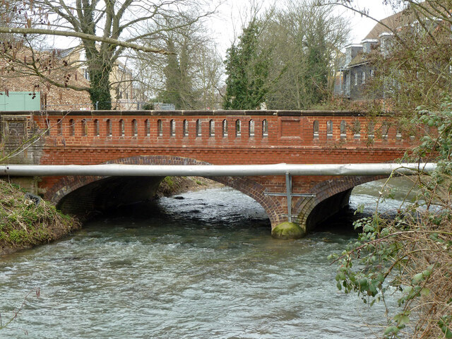
Image: © Robin Webster Taken: 19 Mar 2013
Looking upstream. This may be where the River Pant changes its name to River Blackwater on its way to the sea.
Images are licensed for reuse under creativecommons.org/licenses/by-sa/2.0
Image Location
Latitude
51.900222
Longitude
0.553692