River Pant, Bocking Churchstreet, 2013
Introduction
The photograph on this page of River Pant, Bocking Churchstreet, 2013 by Robin Webster as part of the Geograph project.
The Geograph project started in 2005 with the aim of publishing, organising and preserving representative images for every square kilometre of Great Britain, Ireland and the Isle of Man.

There are currently over 7.5m images from over 14,400 individuals and you can help contribute to the project by visiting https://www.geograph.org.uk
River Pant, Bocking Churchstreet, 2013
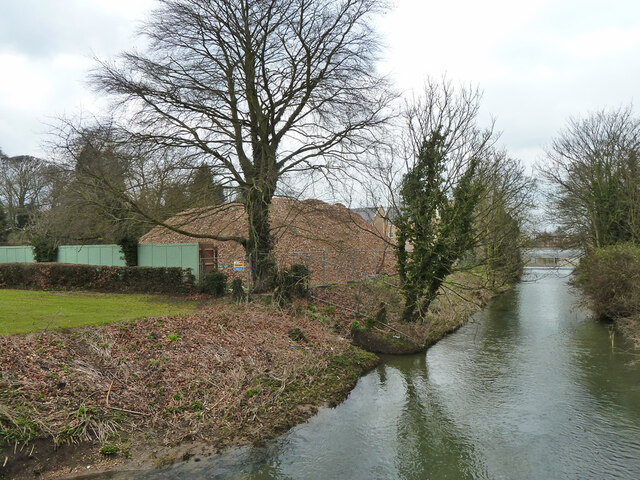
Image: © Robin Webster Taken: 19 Mar 2013
Looking upstream from King's Bridge (Church Lane). On the left the pile of rubble is where there was an industrial site. It is now built over with housing.
Images are licensed for reuse under creativecommons.org/licenses/by-sa/2.0
Image Location
Latitude
51.9006
Longitude
0.552842