Darlington Road, Leicester
Introduction
The photograph on this page of Darlington Road, Leicester by Kate Jewell as part of the Geograph project.
The Geograph project started in 2005 with the aim of publishing, organising and preserving representative images for every square kilometre of Great Britain, Ireland and the Isle of Man.

There are currently over 7.5m images from over 14,400 individuals and you can help contribute to the project by visiting https://www.geograph.org.uk
Darlington Road, Leicester
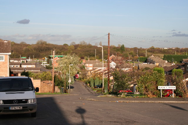
Image: © Kate Jewell Taken: 7 Nov 2005
Looking NNE from the junction with Blackett Avenue. The buildings on the right hand horizon are Gorse Hill City Farm Image
Images are licensed for reuse under creativecommons.org/licenses/by-sa/2.0
Image Location


Leaflet Map data © OpenStreetMap
Latitude
52.648078
Longitude
-1.165886