57 Church Road, Plymstock
Introduction
The photograph on this page of 57 Church Road, Plymstock by Alan Murray-Rust as part of the Geograph project.
The Geograph project started in 2005 with the aim of publishing, organising and preserving representative images for every square kilometre of Great Britain, Ireland and the Isle of Man.

There are currently over 7.5m images from over 14,400 individuals and you can help contribute to the project by visiting https://www.geograph.org.uk
57 Church Road, Plymstock
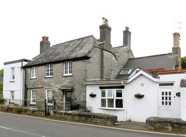
Image: © Alan Murray-Rust Taken: 28 Jun 2023
Traditional slate-hung house, 18th century, Listed Grade II. The slate-hanging has been consolidated with cement pointing. The white-painted extensions are later and are included in the listing although that to the right is a separate dwelling.
Images are licensed for reuse under creativecommons.org/licenses/by-sa/2.0
Image Location
Latitude
50.360517
Longitude
-4.086159