Chimneys and church tower, Plymstock
Introduction
The photograph on this page of Chimneys and church tower, Plymstock by Alan Murray-Rust as part of the Geograph project.
The Geograph project started in 2005 with the aim of publishing, organising and preserving representative images for every square kilometre of Great Britain, Ireland and the Isle of Man.

There are currently over 7.5m images from over 14,400 individuals and you can help contribute to the project by visiting https://www.geograph.org.uk
Chimneys and church tower, Plymstock
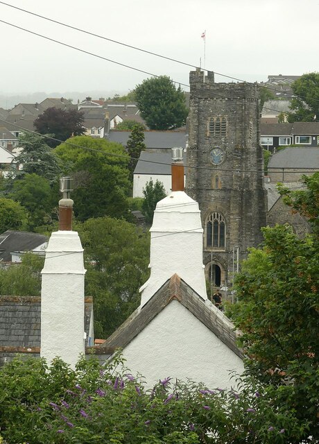
Image: © Alan Murray-Rust Taken: 28 Jun 2023
The chimneys belong to Burrow Farmhouse which dates from around 1600, Listed grade II. The rounded chimney stacks are typical of the area.
Images are licensed for reuse under creativecommons.org/licenses/by-sa/2.0
Image Location
Latitude
50.357324
Longitude
-4.08869