Hay meadow, north of Settle
Introduction
The photograph on this page of Hay meadow, north of Settle by Christine Johnstone as part of the Geograph project.
The Geograph project started in 2005 with the aim of publishing, organising and preserving representative images for every square kilometre of Great Britain, Ireland and the Isle of Man.

There are currently over 7.5m images from over 14,400 individuals and you can help contribute to the project by visiting https://www.geograph.org.uk
Hay meadow, north of Settle
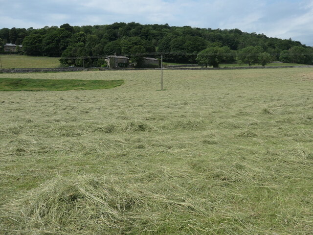
Image: © Christine Johnstone Taken: 25 Jun 2023
On the west bank of the Ribble. The grass has been cut and is drying out.
Images are licensed for reuse under creativecommons.org/licenses/by-sa/2.0
Image Location
Latitude
54.076632
Longitude
-2.283011