Park Square
Introduction
The photograph on this page of Park Square by Glyn Baker as part of the Geograph project.
The Geograph project started in 2005 with the aim of publishing, organising and preserving representative images for every square kilometre of Great Britain, Ireland and the Isle of Man.

There are currently over 7.5m images from over 14,400 individuals and you can help contribute to the project by visiting https://www.geograph.org.uk
Park Square
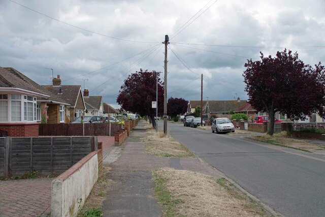
Image: © Glyn Baker Taken: 1 Jul 2023
I am not sure if this is technically still Image Park Square East is marked on maps as beginning after Spencer Way on the left. Spencer way is the name on the bus stop.
Images are licensed for reuse under creativecommons.org/licenses/by-sa/2.0
Image Location
Latitude
51.784743
Longitude
1.113421