Pipe Bridge south of Clegg's Lane
Introduction
The photograph on this page of Pipe Bridge south of Clegg's Lane by Kevin Waterhouse as part of the Geograph project.
The Geograph project started in 2005 with the aim of publishing, organising and preserving representative images for every square kilometre of Great Britain, Ireland and the Isle of Man.

There are currently over 7.5m images from over 14,400 individuals and you can help contribute to the project by visiting https://www.geograph.org.uk
Pipe Bridge south of Clegg's Lane
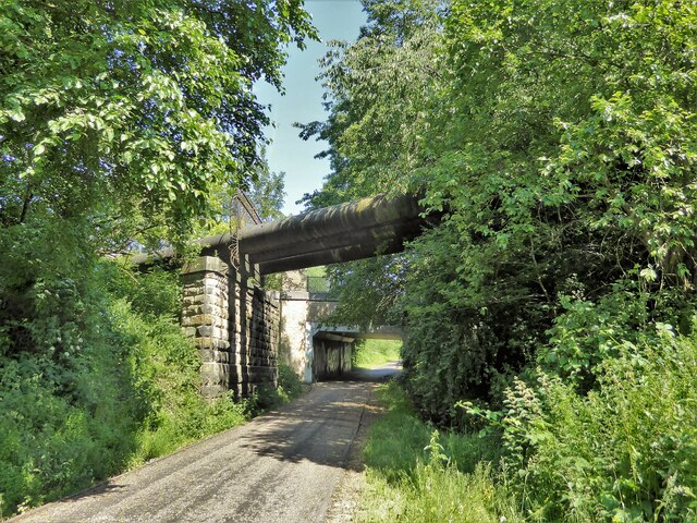
Image: © Kevin Waterhouse Taken: 12 Jun 2023
Across a former railway now the Roe Green Loopline cycle route. The bridge carrying Clegg's Lane is just beyond the pipe bridge.
Images are licensed for reuse under creativecommons.org/licenses/by-sa/2.0
Image Location
Latitude
53.533441
Longitude
-2.421192