Longrun Meadow: towards Taunton's towers
Introduction
The photograph on this page of Longrun Meadow: towards Taunton's towers by John Sutton as part of the Geograph project.
The Geograph project started in 2005 with the aim of publishing, organising and preserving representative images for every square kilometre of Great Britain, Ireland and the Isle of Man.

There are currently over 7.5m images from over 14,400 individuals and you can help contribute to the project by visiting https://www.geograph.org.uk
Longrun Meadow: towards Taunton's towers
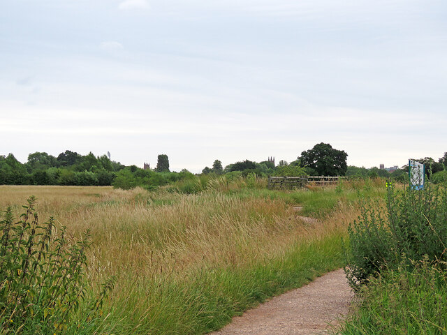
Image: © John Sutton Taken: 27 Jun 2023
This parkland, established from 2010, is a landscaped area of reclaimed water meadows west of the centre of Taunton. For more about it, try http://www.longrunmeadow.co.uk/about-longrun-meadow/ . The tall towers of three town churches (and one of the floodlights at the County Ground) show on the skyline: left to right the churches are St James, St Mary Magdalene and St George (Roman Catholic).
Images are licensed for reuse under creativecommons.org/licenses/by-sa/2.0
Image Location


Leaflet Map data © OpenStreetMap
Latitude
51.0204
Longitude
-3.123988