Normandy Village Sign
Introduction
The photograph on this page of Normandy Village Sign by Des Blenkinsopp as part of the Geograph project.
The Geograph project started in 2005 with the aim of publishing, organising and preserving representative images for every square kilometre of Great Britain, Ireland and the Isle of Man.

There are currently over 7.5m images from over 14,400 individuals and you can help contribute to the project by visiting https://www.geograph.org.uk
Normandy Village Sign
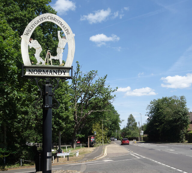
Image: © Des Blenkinsopp Taken: 23 Jun 2023
Looking along Guildford Road at the junction with Hunts Hill Road. The village sign is well worth a picture. Normandy is the name of the village but it is quite a scattered one made up of a number of smaller communities including Willey Green and the festive sounding Christmas Pie, which is part of Flexford. The cricketing figures are no doubt significant, but local knowledge needed on that one.
Images are licensed for reuse under creativecommons.org/licenses/by-sa/2.0
Image Location
Latitude
51.255858
Longitude
-0.672849