The Westlink, Belfast (16)
Introduction
The photograph on this page of The Westlink, Belfast (16) by Albert Bridge as part of the Geograph project.
The Geograph project started in 2005 with the aim of publishing, organising and preserving representative images for every square kilometre of Great Britain, Ireland and the Isle of Man.

There are currently over 7.5m images from over 14,400 individuals and you can help contribute to the project by visiting https://www.geograph.org.uk
The Westlink, Belfast (16)
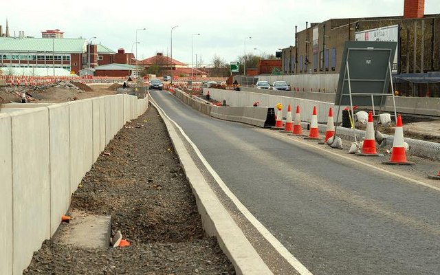
Image: © Albert Bridge Taken: 6 Apr 2008
See Image Work is advanced on the underpass (left) to replace the Broadway roundabout. The view is towards the M2. My understanding is that there will be a south-bound off-slip (middle) and a segregated bus lane (right). With all the changes, the Google map has ceased to have much relevance.
Images are licensed for reuse under creativecommons.org/licenses/by-sa/2.0
Image Location
Latitude
54.589509
Longitude
-5.956771