Maxwell Road in Wolverhampton
Introduction
The photograph on this page of Maxwell Road in Wolverhampton by Roger Kidd as part of the Geograph project.
The Geograph project started in 2005 with the aim of publishing, organising and preserving representative images for every square kilometre of Great Britain, Ireland and the Isle of Man.

There are currently over 7.5m images from over 14,400 individuals and you can help contribute to the project by visiting https://www.geograph.org.uk
Maxwell Road in Wolverhampton
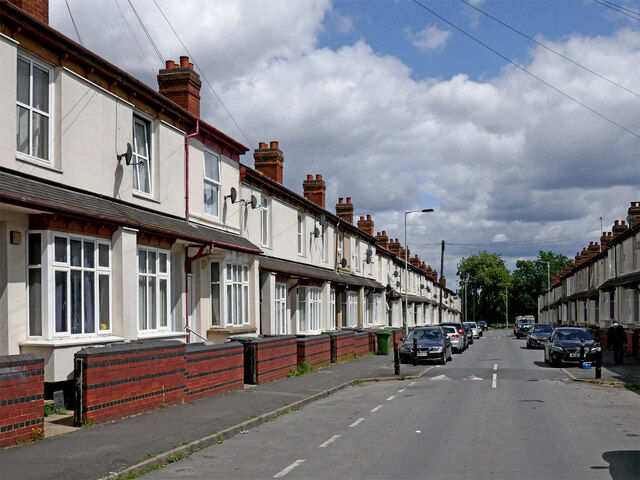
Image: © Roger Kidd Taken: 26 Jun 2023
Maxwell Road is now a cul-de-sac leading from Vicarage Road to Adelaide Walk, Gower Street and playing fields at All Saints Park. This is the view eastwards.
Images are licensed for reuse under creativecommons.org/licenses/by-sa/2.0
Image Location
Latitude
52.578494
Longitude
-2.119637