Pasture, East Meon
Introduction
The photograph on this page of Pasture, East Meon by Andrew Smith as part of the Geograph project.
The Geograph project started in 2005 with the aim of publishing, organising and preserving representative images for every square kilometre of Great Britain, Ireland and the Isle of Man.

There are currently over 7.5m images from over 14,400 individuals and you can help contribute to the project by visiting https://www.geograph.org.uk
Pasture, East Meon
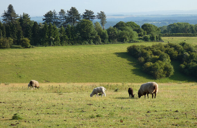
Image: © Andrew Smith Taken: 19 Jun 2023
Ewes, lambs and the head of a dry valley beside the byway on Wether Down.
Images are licensed for reuse under creativecommons.org/licenses/by-sa/2.0
Image Location
Latitude
50.968918
Longitude
-1.04193