45 - 53 Pembury Road
Introduction
The photograph on this page of 45 - 53 Pembury Road by Ian Capper as part of the Geograph project.
The Geograph project started in 2005 with the aim of publishing, organising and preserving representative images for every square kilometre of Great Britain, Ireland and the Isle of Man.

There are currently over 7.5m images from over 14,400 individuals and you can help contribute to the project by visiting https://www.geograph.org.uk
45 - 53 Pembury Road
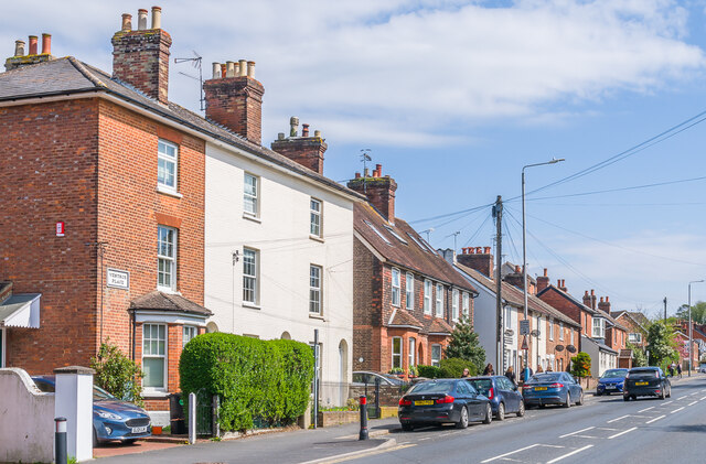
Image: © Ian Capper Taken: 20 Apr 2023
Victorian houses on Pembury Road, with the first terrace, nos 65 - 69 with a name plaque Ventnor Place, marked on the 1867 1:500 plan, as is the third terrace, nos 77 - 87 (see Image for closer view). The second terrace is first shown on the 1896 25 inch map.
Images are licensed for reuse under creativecommons.org/licenses/by-sa/2.0
Image Location
Latitude
51.187354
Longitude
0.27375