Stourbridge Golf Club
Introduction
The photograph on this page of Stourbridge Golf Club by Stephen McKay as part of the Geograph project.
The Geograph project started in 2005 with the aim of publishing, organising and preserving representative images for every square kilometre of Great Britain, Ireland and the Isle of Man.

There are currently over 7.5m images from over 14,400 individuals and you can help contribute to the project by visiting https://www.geograph.org.uk
Stourbridge Golf Club
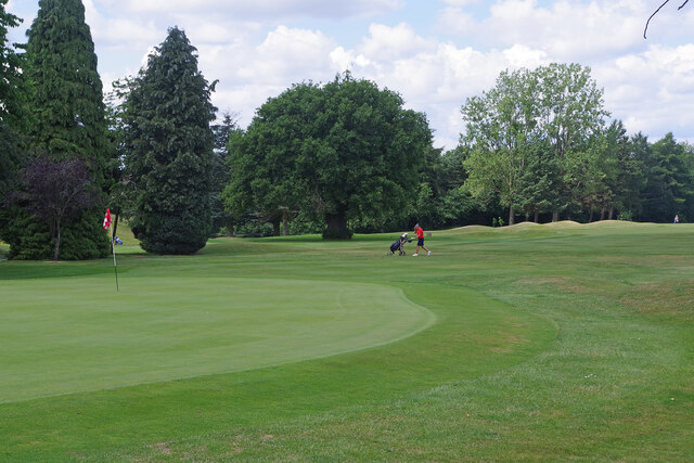
Image: © Stephen McKay Taken: 21 Jun 2023
Stourbridge Golf Club was formed in 1892 when nine holes were laid out on the former Pedmore racecourse; the course was expanded to 18 holes in 1909. This view shows the 18th green.
Images are licensed for reuse under creativecommons.org/licenses/by-sa/2.0
Image Location
Latitude
52.439126
Longitude
-2.141471