Marker stone on Uphill Way
Introduction
The photograph on this page of Marker stone on Uphill Way by Neil Owen as part of the Geograph project.
The Geograph project started in 2005 with the aim of publishing, organising and preserving representative images for every square kilometre of Great Britain, Ireland and the Isle of Man.

There are currently over 7.5m images from over 14,400 individuals and you can help contribute to the project by visiting https://www.geograph.org.uk
Marker stone on Uphill Way
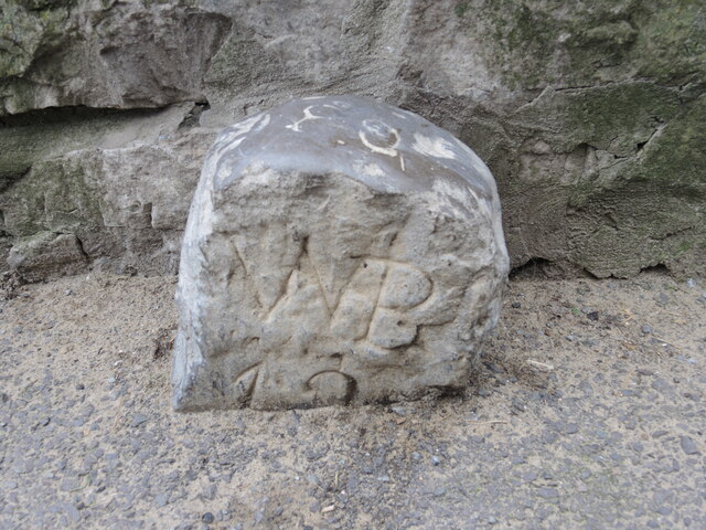
Image: © Neil Owen Taken: 25 Apr 2023
One of two still visible, despite the ever-rising modern ground level. The stones do not appear to be parish boundary markers, and are described in the Heritage Gateway as 'Sea wall works boundary stones' - probably post-Mediaeval in date. See Image] for another close by.
Images are licensed for reuse under creativecommons.org/licenses/by-sa/2.0
Image Location
Latitude
51.321461
Longitude
-2.984525