Toll House, Morpeth
Introduction
The photograph on this page of Toll House, Morpeth by Richard A Thackeray as part of the Geograph project.
The Geograph project started in 2005 with the aim of publishing, organising and preserving representative images for every square kilometre of Great Britain, Ireland and the Isle of Man.

There are currently over 7.5m images from over 14,400 individuals and you can help contribute to the project by visiting https://www.geograph.org.uk
Toll House, Morpeth
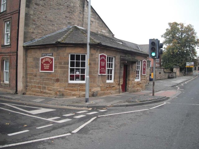
Image: © Richard A Thackeray Taken: 19 Oct 2019
On the West side of the A197, Castle Square. The view looking SW is Image It would have served the Trust administering the bridge from early in the 19ᵗʰ C. Grade II listed Nᴼ. 1042758 see https://historicengland.org.uk/listing/the-list/list-entry/1042758 Milestone Society National ID: NB.MOR
Images are licensed for reuse under creativecommons.org/licenses/by-sa/2.0
Image Location
Latitude
55.165861
Longitude
-1.686422