Farm Buildings near Middleton Lodge
Introduction
The photograph on this page of Farm Buildings near Middleton Lodge by Ian Lavender as part of the Geograph project.
The Geograph project started in 2005 with the aim of publishing, organising and preserving representative images for every square kilometre of Great Britain, Ireland and the Isle of Man.

There are currently over 7.5m images from over 14,400 individuals and you can help contribute to the project by visiting https://www.geograph.org.uk
Farm Buildings near Middleton Lodge
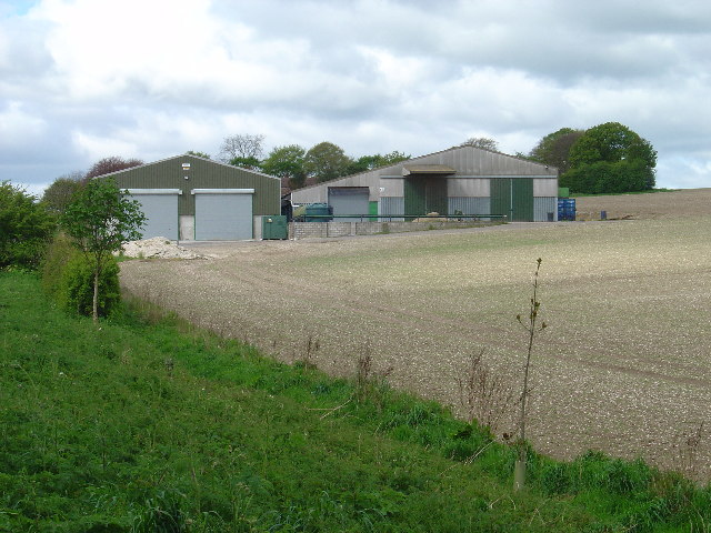
Image: © Ian Lavender Taken: 6 May 2005
These buildings illustrate the industrialisation of modern farming. They were built to replace buildings in the village for which plans have been made for housing.
Images are licensed for reuse under creativecommons.org/licenses/by-sa/2.0
Image Location


Leaflet Map data © OpenStreetMap
Latitude
53.934232
Longitude
-0.589512