Boot Lane looking Southeast
Introduction
The photograph on this page of Boot Lane looking Southeast by s as part of the Geograph project.
The Geograph project started in 2005 with the aim of publishing, organising and preserving representative images for every square kilometre of Great Britain, Ireland and the Isle of Man.

There are currently over 7.5m images from over 14,400 individuals and you can help contribute to the project by visiting https://www.geograph.org.uk
Boot Lane looking Southeast
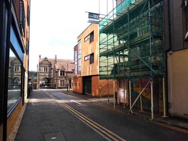
Image: © s Taken: 1 Apr 2023
Boot Lane first appears on the 1746-1803 map of Bristol. The building in the centre was built in 2008.
Images are licensed for reuse under creativecommons.org/licenses/by-sa/2.0
Image Location
Latitude
51.44443
Longitude
-2.59222