Roadside wall, Mere Knoll Road, Seaburn
Introduction
The photograph on this page of Roadside wall, Mere Knoll Road, Seaburn by Mel Towler as part of the Geograph project.
The Geograph project started in 2005 with the aim of publishing, organising and preserving representative images for every square kilometre of Great Britain, Ireland and the Isle of Man.

There are currently over 7.5m images from over 14,400 individuals and you can help contribute to the project by visiting https://www.geograph.org.uk
Roadside wall, Mere Knoll Road, Seaburn
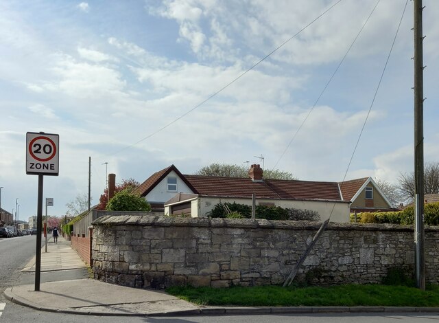
Image: © Mel Towler Taken: 26 Apr 2023
There is a benchmark cut into a stone on the lowest course in the roadside wall at the junction of Mere Knoll Road and Chichester Road. Closer view Image]
Images are licensed for reuse under creativecommons.org/licenses/by-sa/2.0
Image Location
Latitude
54.930722
Longitude
-1.372942