Barns at east end of Long Plantation
Introduction
The photograph on this page of Barns at east end of Long Plantation by Trevor Littlewood as part of the Geograph project.
The Geograph project started in 2005 with the aim of publishing, organising and preserving representative images for every square kilometre of Great Britain, Ireland and the Isle of Man.

There are currently over 7.5m images from over 14,400 individuals and you can help contribute to the project by visiting https://www.geograph.org.uk
Barns at east end of Long Plantation
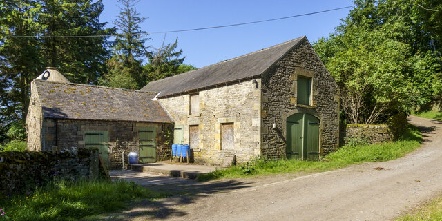
Image: © Trevor Littlewood Taken: 15 Jun 2023
Barns at the west end of the estate buildings at Newbiggin. The estate road passing by heads on into the valley of the Beldon Burn where it contours well above the valley bottom.
Images are licensed for reuse under creativecommons.org/licenses/by-sa/2.0
Image Location
Latitude
54.842717
Longitude
-2.080317