Gate to a disused Jewish Cemetery
Introduction
The photograph on this page of Gate to a disused Jewish Cemetery by David Lally as part of the Geograph project.
The Geograph project started in 2005 with the aim of publishing, organising and preserving representative images for every square kilometre of Great Britain, Ireland and the Isle of Man.

There are currently over 7.5m images from over 14,400 individuals and you can help contribute to the project by visiting https://www.geograph.org.uk
Gate to a disused Jewish Cemetery
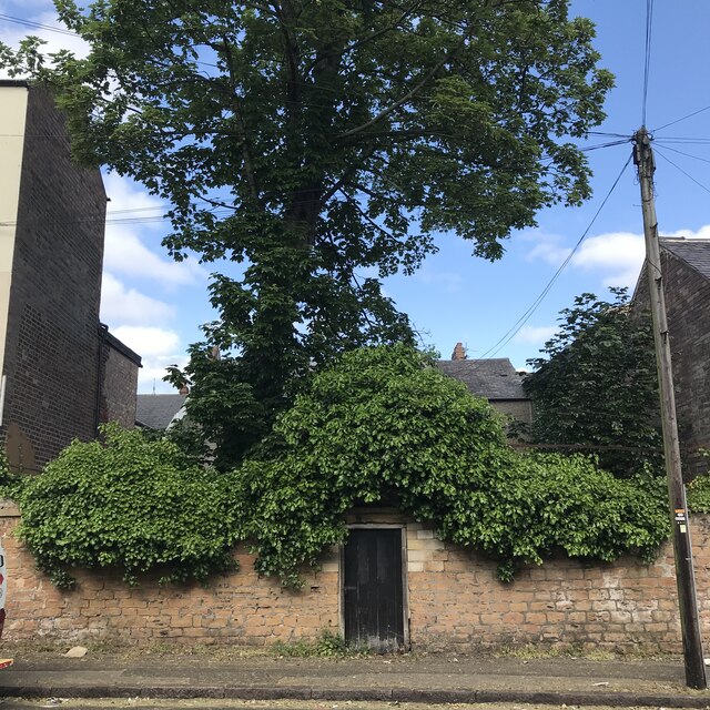
Image: © David Lally Taken: 7 Jun 2023
In use from 1823 until 1869, the cemetery is situated in a courtyard hidden behind a stone wall, on the East side of North Sherwood Street, about 30 yards from the junction with Forest Road East.. The burial records are lost and only about 15 stones are extant. The cemetery belonged to the Nottingham Municipality but was purchased outright by the Community in 1946. The Cemetery is locked and the keys are held by the Nottingham Hebrew Congregation. Source; David Shulman, Webmaster JCR-UK [September 2016].
Images are licensed for reuse under creativecommons.org/licenses/by-sa/2.0
Image Location
Latitude
52.963524
Longitude
-1.152683