Carrington Community Garden
Introduction
The photograph on this page of Carrington Community Garden by John Sutton as part of the Geograph project.
The Geograph project started in 2005 with the aim of publishing, organising and preserving representative images for every square kilometre of Great Britain, Ireland and the Isle of Man.

There are currently over 7.5m images from over 14,400 individuals and you can help contribute to the project by visiting https://www.geograph.org.uk
Carrington Community Garden
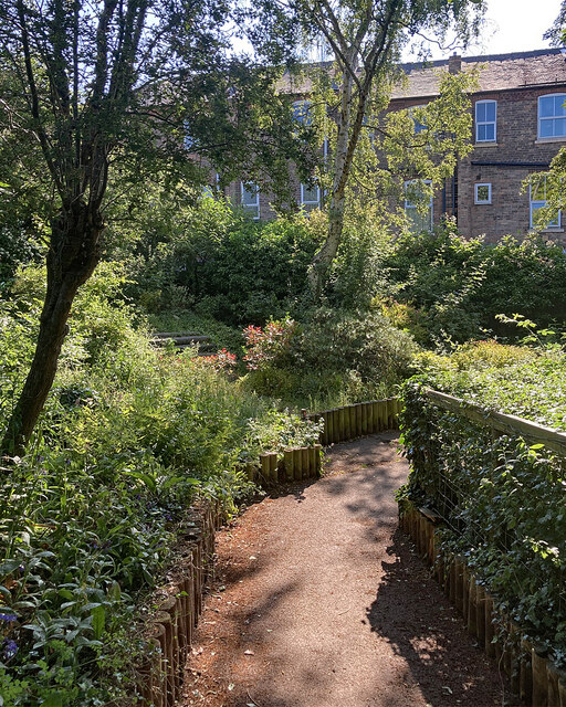
Image: © John Sutton Taken: 14 Jun 2023
The Community Garden straddles a twitchel between Bernard Street and Church Drive (ahead). In the background are three-storey houses on Loscoe Road.
Images are licensed for reuse under creativecommons.org/licenses/by-sa/2.0
Image Location
Latitude
52.975391
Longitude
-1.152898